Laugavegur – the beautiful 4-day hike in Iceland is a “bucket list” hike for many people, so we had high hopes that were plentifully rewarded. We hiked it in July 2020 and were blown away by the diverse scenery of the hike. Each day is different.
The post is part of the series we have written from our trip to Iceland in July 2020.
We had no rain at all, and sun almost all of the time. The rangers told us that four days in a row like this is very unusual. Of course the weather just made the hike so much more enjoyable. It is one of the best hikes we have walked, and worse weather would not have changed that. No wonder lots of people would like to hike the beautiful 4-day Laugavegur in Iceland. We were told that it often gets crowded, but in the unusual year of 2020, there was plenty of space.
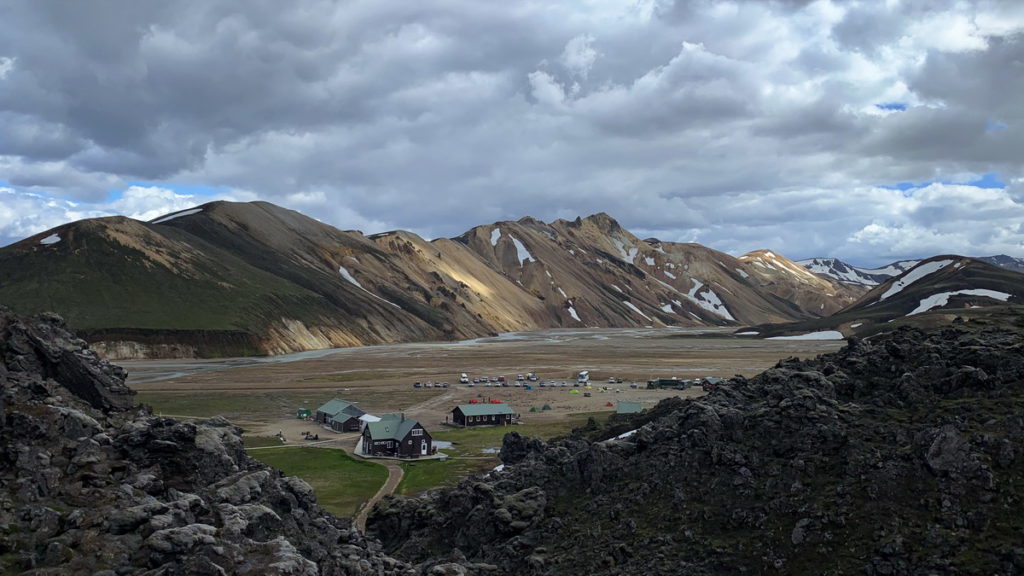
From the start in Landmannalaugar you are right in the middle of one of Iceland’s active geothermal areas, with rhyolite mountains in unearthly colours, and steaming mud pools and fumaroles with the distinct smell of sulphur all around. You will have long views as you slowly descent across lava fields until you finally descend to Thorsmork, a mild valley with one of Iceland’s rare forests. Laugavegur is a “bucket list” hike for many people, so we had high hopes that were plentifully rewarded.
Practical information
There is a lot of online information about this hike. Basically because Laugavegur is one of the most beautiful 4-day hikes in Iceland, and perhaps the world. The two most important things to consider in the planning is:
- You have to decide if you want to sleep in dormitory rooms in the huts along the route (these usually needs to be booked many months in advance), or if you want to pitch your tent at the designated campsites near the huts. We prefer the space and peacefulness of our own tents. Huts are booked via fi.is, campsite need not to be booked in advance.
- There are a handful of rivers you have to wade across, as they are not bridged. It sounds somewhat daunting as it is cold, glacial meltwater. We brought hiking sandals for the crossings. The water was no more than knee-deep for us adults, and mid-thigh for Nikolaj (11 years at the time). It sounded worse than it really was, we didn’t see anyone being challenged beyond their capabilities.
We brought all the food we needed for the hike. The huts sell a little bit of foods, but the selection is very basic. For breakfast, the four of us have individual preferences for muesli mixes, so we prepacked these in Denmark. These mixes have a good ratio of nutrition and, weight, and are quick and simple as we use cold water. We used the same mixes for lunch for simplicity. For dinner we brought the freeze dried meals we like the best, Real Turmat. It all worked well, except we underestimated how much Tobias was eating. We had based portions on his meal size 3 month earlier, but he is growing fast at age 14, and was very hungry at the end of the hike!
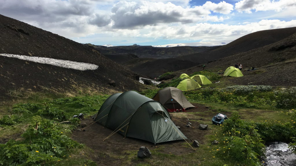
We brought two light-weight tents, one for the boys and one for the adults. The boys are the first to go to sleep, and with their own tent they will not be disturbed when their parents turn in.
Day one
As the start and end locations for Laugavegur are different, we could not use our rented 4×4. We parked it at the Lava centre in Hvolsvollur, where we saw many other cars that seemed parked for the same reason. From there we had bought tickets in advance with Reykjavik Excursions, that run bus services to Landmannalaugar and back from Thorsmork, with one departure time per day.
The bus takes 3 hours, so we arrived in Landmannalaugar at noon. Before the hike we had used safetravel.is and the Laugavegur facebook group to get updates on the snow situation of the trail. A week before our hike, 25 km of the trail had been covered by snow, but as we started, this was reduced to 8 km before and after the Hrafntinnusker hut in the pass.
However, the rangers in Landmannalaugar told us that we should expect to pitch the tents on snow at Hrafntinnusker – and they also told us the hut was not fully booked. So to make the first night a little less rough we decided to last-minute book space in the hut.
There is a very nice thermal pool at Landmannalaugar and we went for a dip in the pool before finally starting hiking Laugavegur at 13:30.
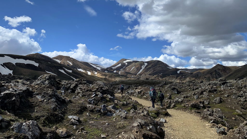
As the trail rises from Landmannalaugar you have great views of the rhyolite mountains around Landmannalaugar. You pass many mud pools and smoking fumaroles on the winding trail.
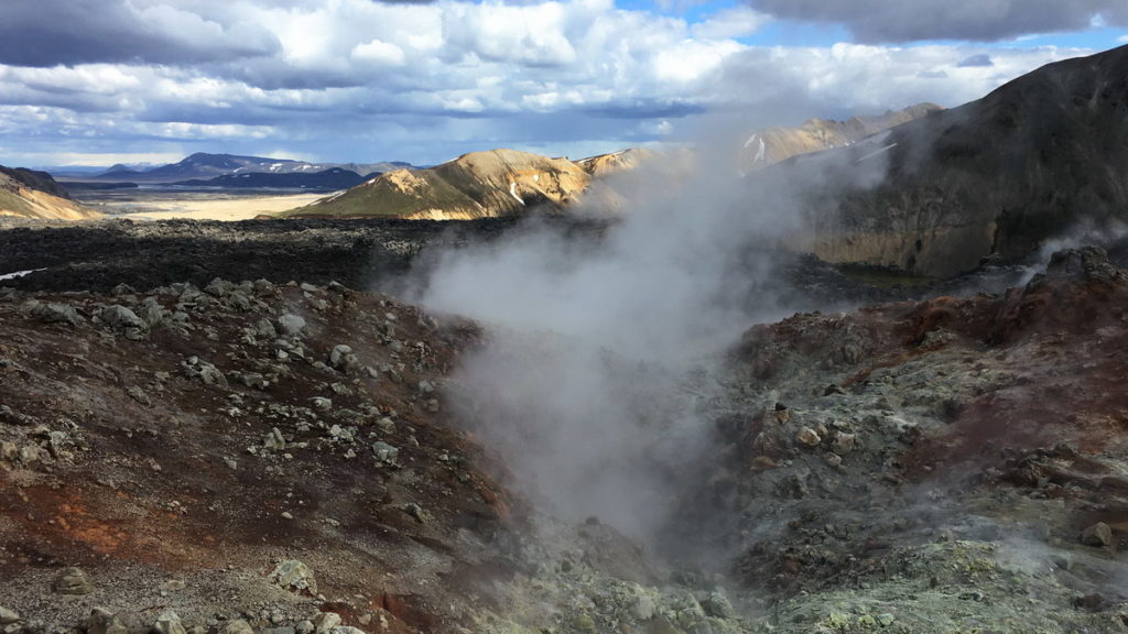
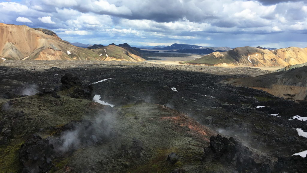
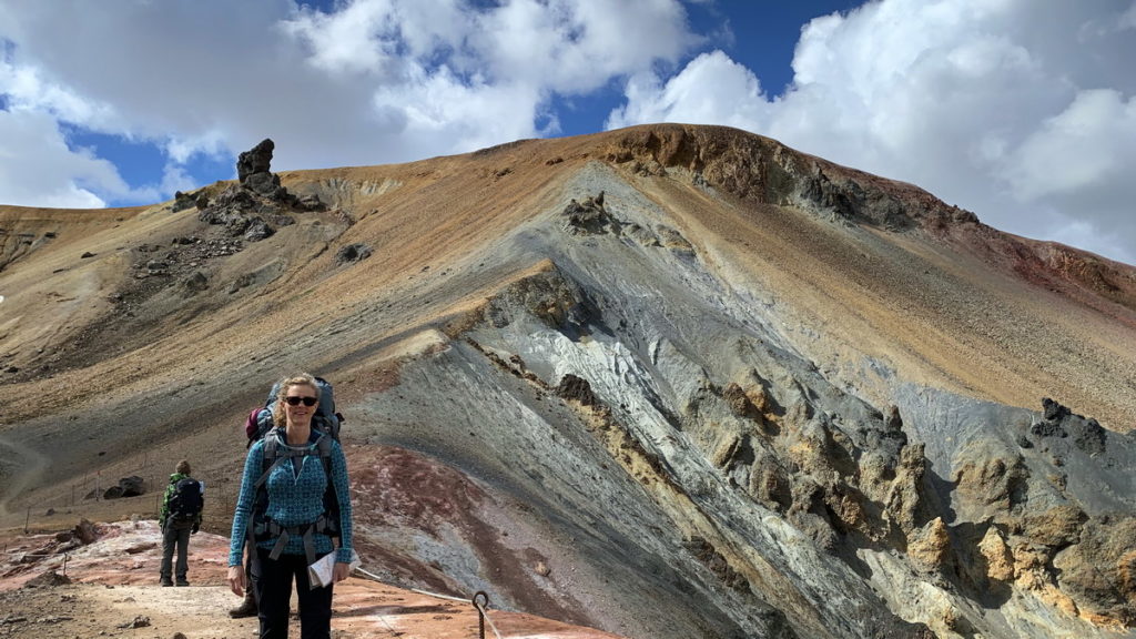
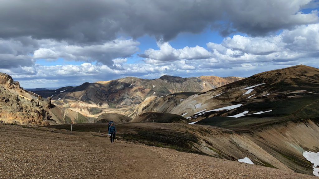
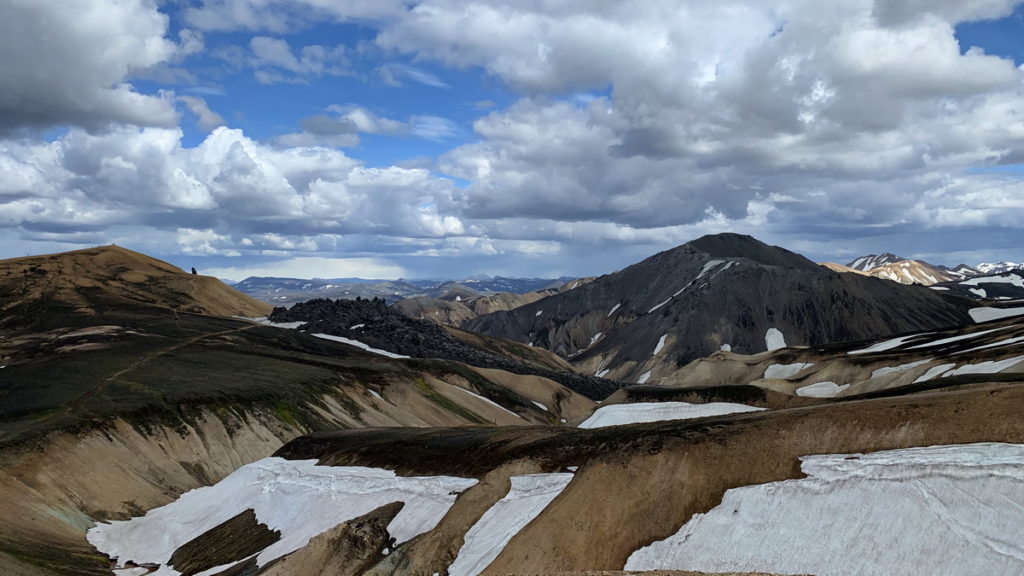
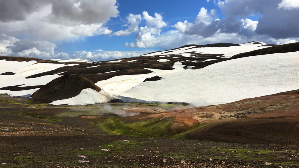
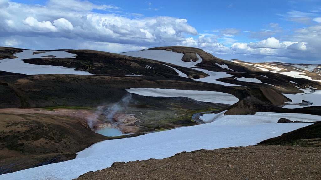
At the end of the day you start the climb towards Hrafntinnusker where the views open up towards the pass. We had snow the last 4 km before the pass which required a bit more energy to walk through.
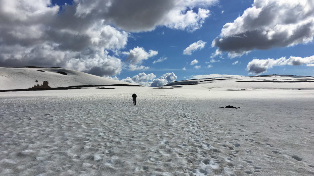
The day had started with nice sunny weather, and it ended in the same way. Hrafntinnusker is known as a windy place, but as we arrived it was calm and peaceful and we could soak in the wild, untamed mountains all around. There was actually plenty of available tent spots, but as we had already prepaid the hut, we decided to stay indoors. We slept in a room for 10 people, with 8 of the mats occupied.
Day two
We woke up to another calm and sunny morning. We had breakfast on the terrace of the hut.
From day two, the rest of the hike is generally a descent, of course with many small hills in between. The day started with more fumaroles, mud pools and rhyolite mountains as we descended the snow-covered section of the trail. We had some hours of fog on what must have been an exceptionally beautiful section, but we didn’t see it at all.
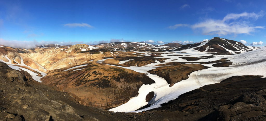
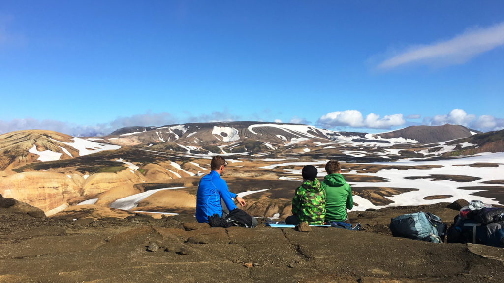
As the clouds lifted we were in a new landscape on a ridge with a view all the way to the end of day two, Lake Alftavatn. It was spectacular, and we all really enjoyed it.
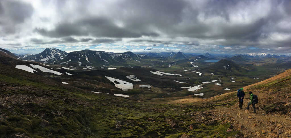
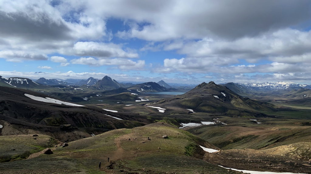
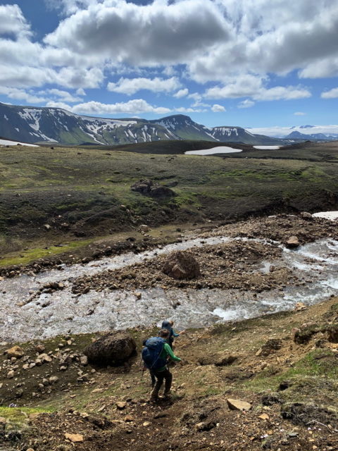
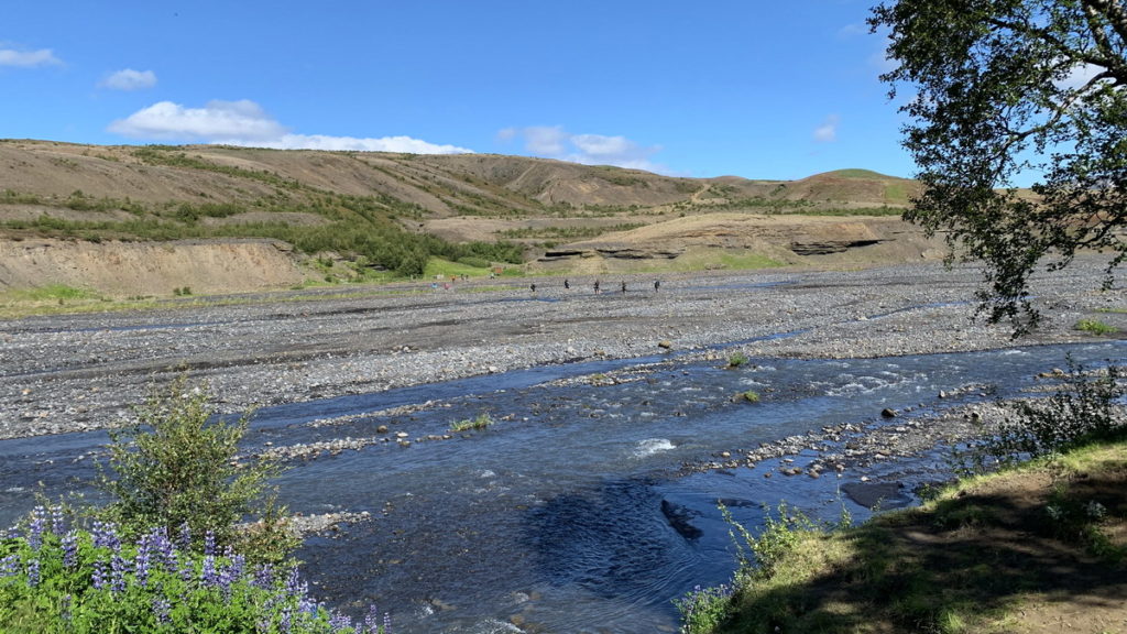
As we descended towards Alftavatn, we also reached the first river crossing. The best place to cross is where the river is wide, as it is less deep there. We could see where others were crossing, and talked to some of those coming the opposite way, about what to expect. We removed pants and changed to sandals. The water really is very cold, and runs with considerable force. But it is not difficult, none of us lost footing and we all managed the crossing. At the other side, we sat down to dry and warm the feet. If it had been raining, it must have been a much more rough experience.
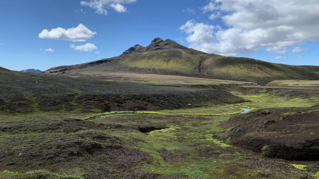
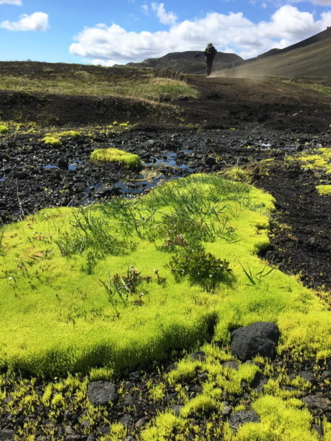
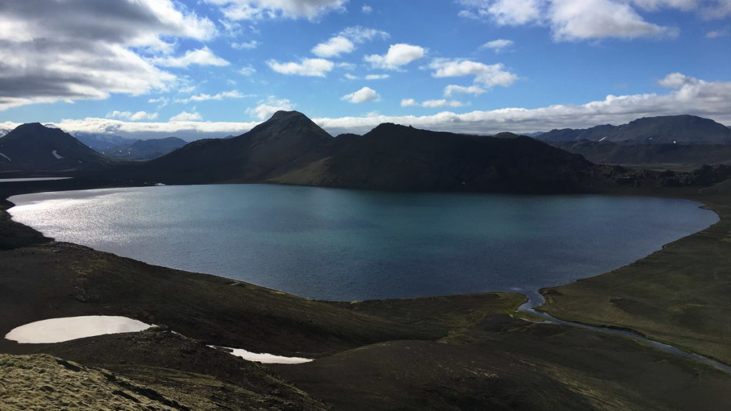
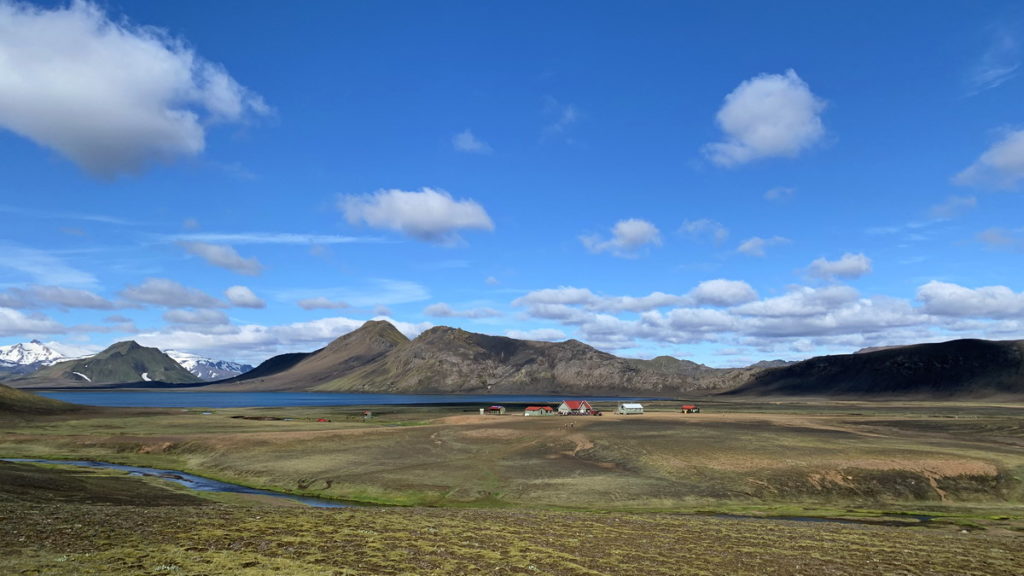
The hut and campsite at Lake Alftavatn is at a large green field next to the lake. It is a very scenic location.
Day three
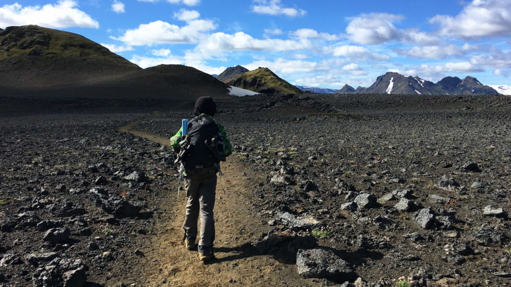
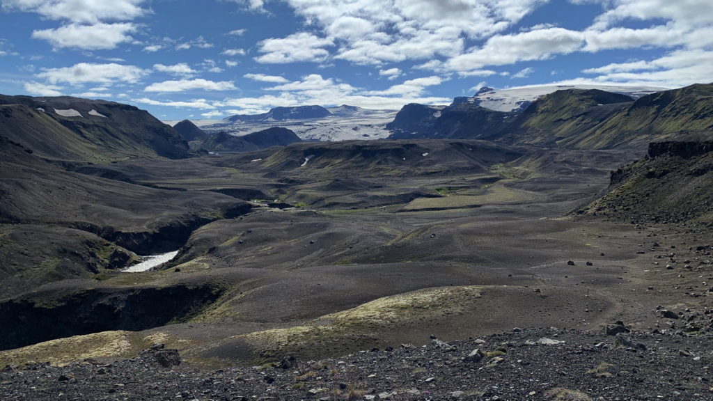
The day starts with a change of scenery. The landscape becomes more monotonous as you enter large, barren and open lava fields. It must be a hostile environment for plants, and there is practically no vegetation. Parts of the Icelandic highlands are categorised as desert as the soil is unable to hold water. The results is a very dry landscape with little variation. This was the section the boys liked the least. Partly because the trail was a long straight line where it was difficult to see that you made progress. And partly because of the lack of vegetation – they prefer lush landscape that signal life. Peter and Helle enjoyed this day, as the landscape is unlike anything else we have walked. It was monotonous, but special and beautiful in its own right.
We crossed several rivers, which had become a routine at this point. At one of the crossings we saw another group of hikers that put big plastic around their boots and pants and waded across in those. That made us laugh, as it seemed a matter of time before the bag would burst and the boots would be full of water. But it turned out they were experienced, local hikers. They wanted to try the bag technique because they knew that the search & rescue teams crossed the rivers this way to save time. We were happy to have our assumptions corrected.
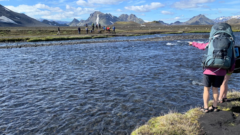
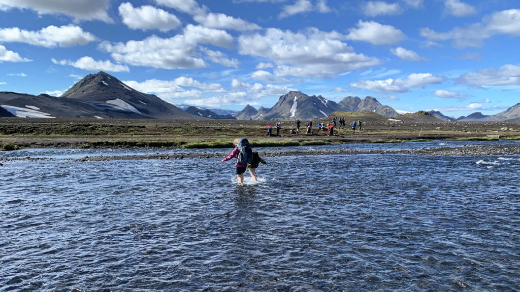
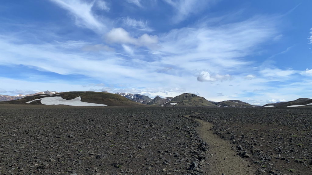
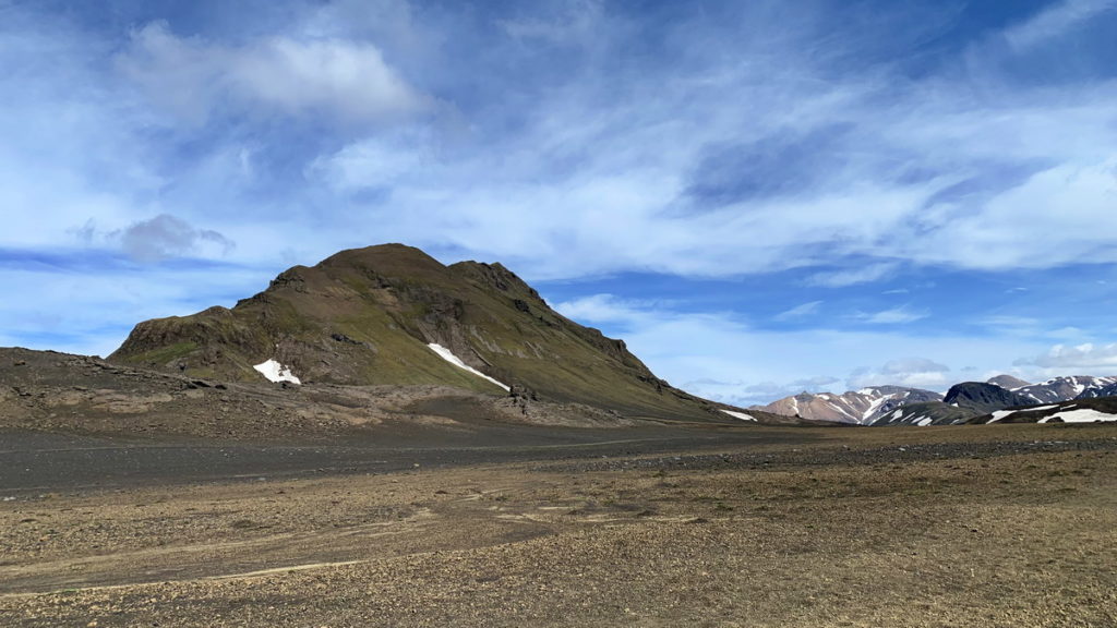
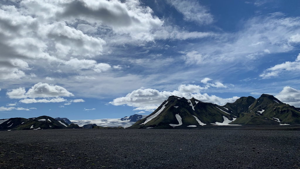
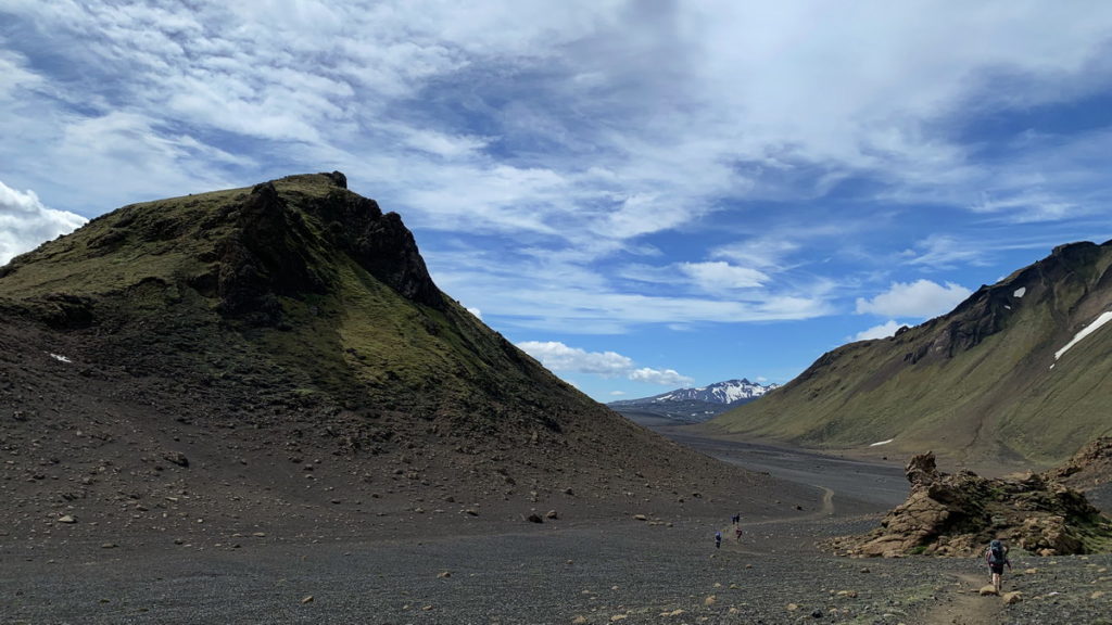
At the end of the day section we could see from the signs that we were close to the hut Emstrur, but we didn’t see it. Then as we descended a valley, it appeared on a small barren plateau amid the lave fields. It seemed to be a windswept and unhospitable location. But it was quite the opposite. The hut is at the side of a small canyon with a stream. The campsite is right on the side of the stream, with lots of vegetation. The canyon protects from wind, and the campsite is widespread, with many small tent spots. We liked this campsite a lot, and enjoyed the end of another sunny day.
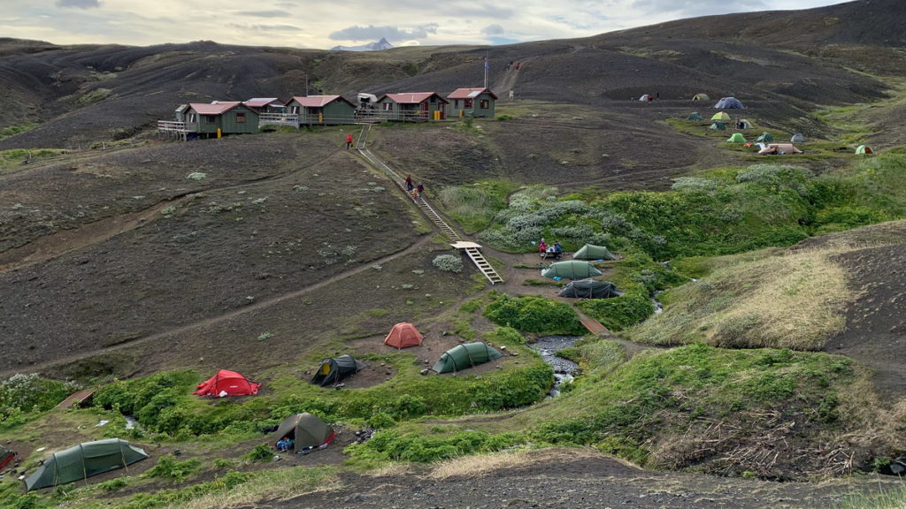
Day four
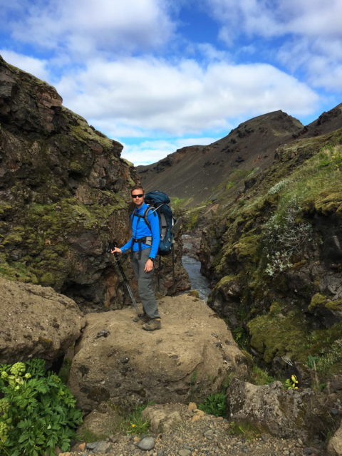
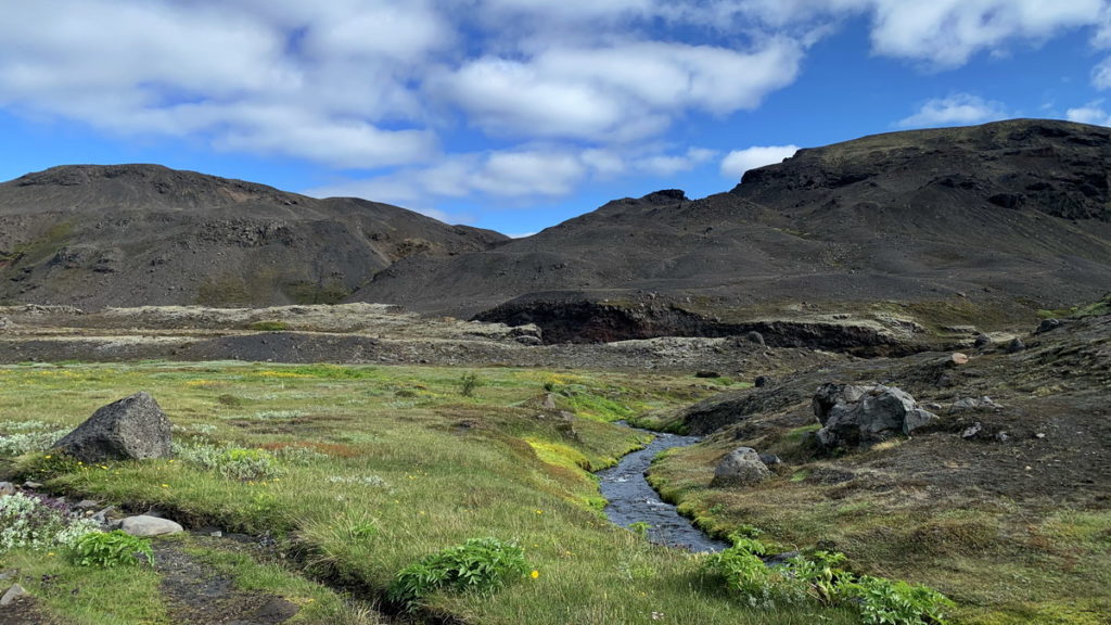
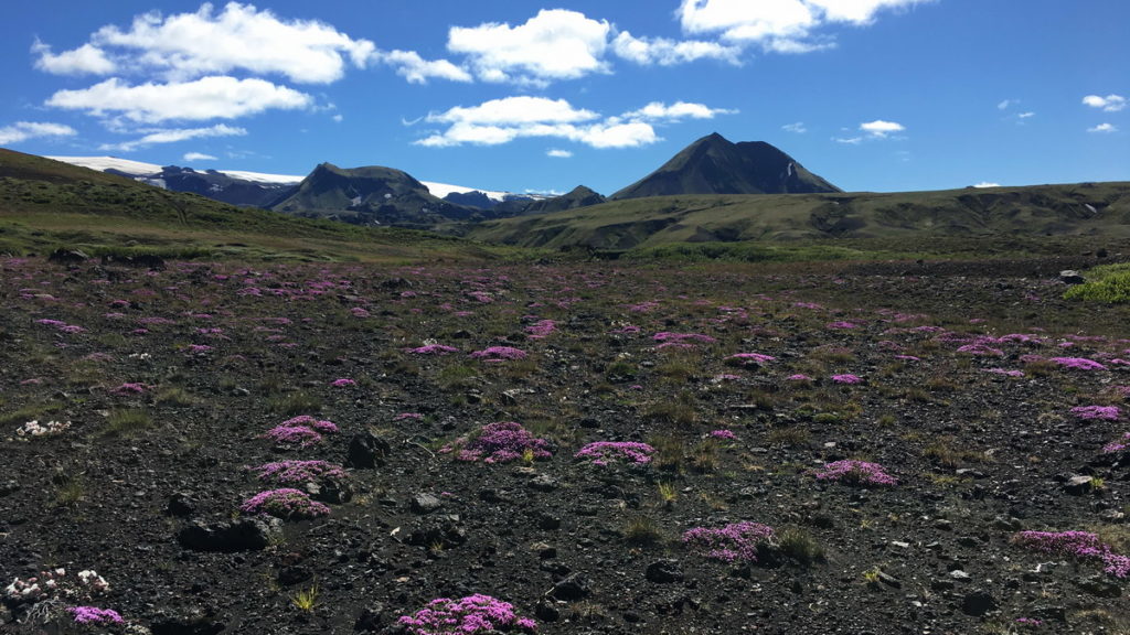
Leaving Emstrur takes you through more barren lava fields. But the landscape slowly changes towards Thorsmork. The variation increases, and you pass small canyons.
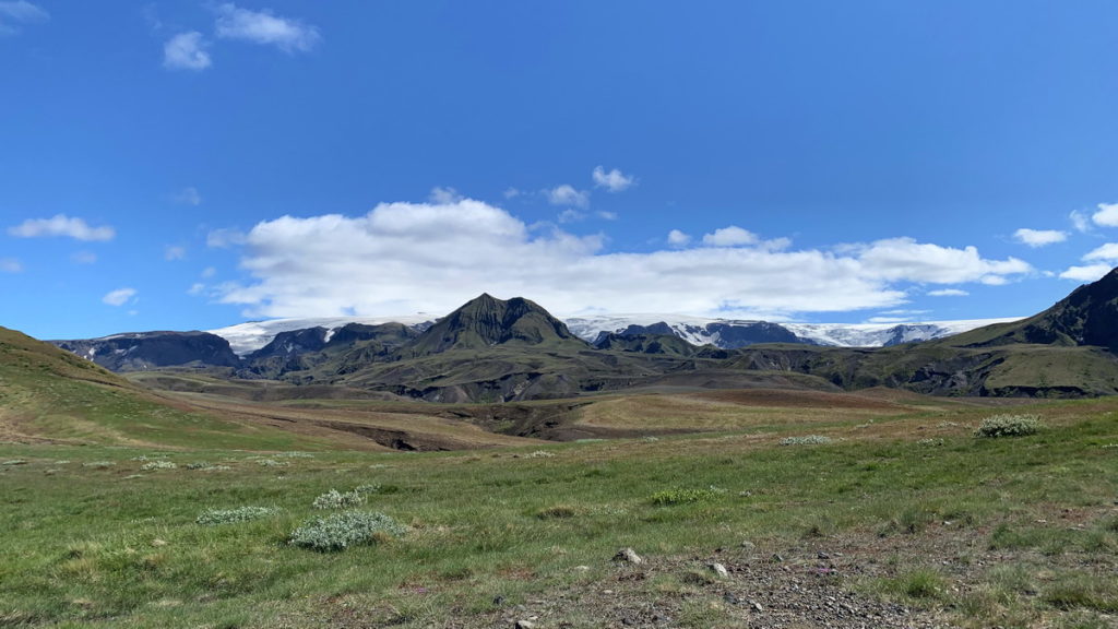
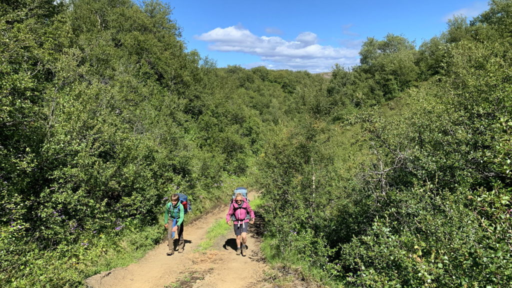
You cross a river, and from the other shore you are in a completely different setting surrounded by trees that reminded us of Sweden. The temperature increased, and it was warm as we reached the hut in Húsadalur.
There are several huts in Thorsmork. There is bus to Hvolsvollur operated by Reykjavik Excursions from several of the huts. The latest departure and the shortest busride is from Húsadalur, so we chose this departure because it gave us the most time in the mountains.
We were all tired and hungry, and enjoyed a good meal at the cafeteria in Húsadalur. They have both gluten free and vegetarian options on the menu.
We picked up the car at the Lava Centre in Hvolsvollur at around 18.30 and drove to the nearby holiday home we had rented for the night. It was a brand new and very large place which was perfect to unpack and do laundry after a hike. We bought fresh salmon and vegetables in Hvolsvollur and enjoyed a “real” meal while we talked about our hike on Laugavegur.
